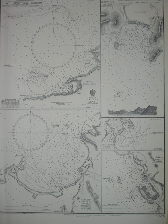
West Indies. Carta Náutica, Planos de Puertos.
15.00€
Categorías América Central, Caribe, Cartas Marinas / Sea charts
Descripción
West Indies. Antilles – Plans of Ports. Crocus Bay, Marigot Bay, Groote Bay, Oyster Pond and Port Gustavia. Published at the Admiralty 12th Septiembre 1851. Corrections up to 1972. Provenientes del Sondeo del Capitan Edward Garnett en 1846.
Tamaño 71 x 52 cm.
Ref 236.59
